
Gila Wilderness, New Mexico
Free downloadable topo maps. Available for purchase.
Welcome to America’s first wilderness area. Located in southwest New Mexico, north of Silver City, it was designated in 1924 and put into law by the Wilderness Act of 1964 at the urging of Aldo Leopold (the Aldo Leopold Wilderness is adjacent to the Gila on the east side). At its southern entrance is the Gila Cliff Dwellings National Monument where you can tour the cliff dwellings occupied by the Mogollon people 700 years ago. Once into the wilderness, expect elevations ranging from 7,000 feet on the Gila River to 8,600 feet on the mesas.
The many trails of the wilderness offer hikes up the three forks of the Gila River, across the volcanic mesas and through the open Ponderosa pines of the Montane Conifer Forests. Two hikes presented here are but a sampling:
- The Woodland Park hike is a 44 loop that makes it easy to stretch your stay to almost a week.
- The Willow Creek hike is an 19 mile loop that makes a great two nighter.
The Trail Maps: The two maps are FREE to download. The maps of the hike will be available printed in color on 11x17, "Rite in the Rain” all weather writing paper for $5 plus S&H by emailing Charlie at cew5151@gmail.com. If they aren't there yet, email me and I'll make them for you. The maps are nominal 1:24,000 based on USGS 7.5 minute quadrangle topographic maps.
Woodland Park Loop
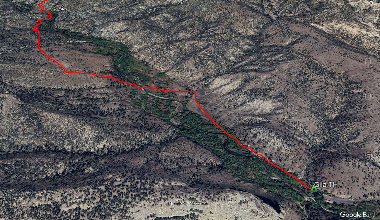
The trip begins and ends at the Gila Cliff Dwelling National Monument. You will doing yourself a real disservice if you don't take the tour at the beginning (do it while you are still fresh) or end (the others on the tour may not appreciate the stench of a week in the backcountry).
The dwelling are comprised of 40 rooms built in 6 natural caves. They are accessed by a one mile loop trail where you can see the cave opening from below. The guided tour begins at cave 1 at the west end where a ranger will brief you on the dwellings and give you some history about the Mogollon people that lived there 700 years ago. In the caves you will walk through rooms, see some artifacts and see the stone work of the outer wall of the dwelling. They had a great view of the valley below.
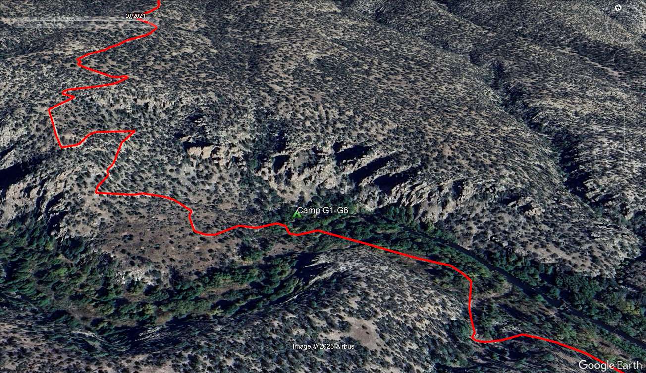
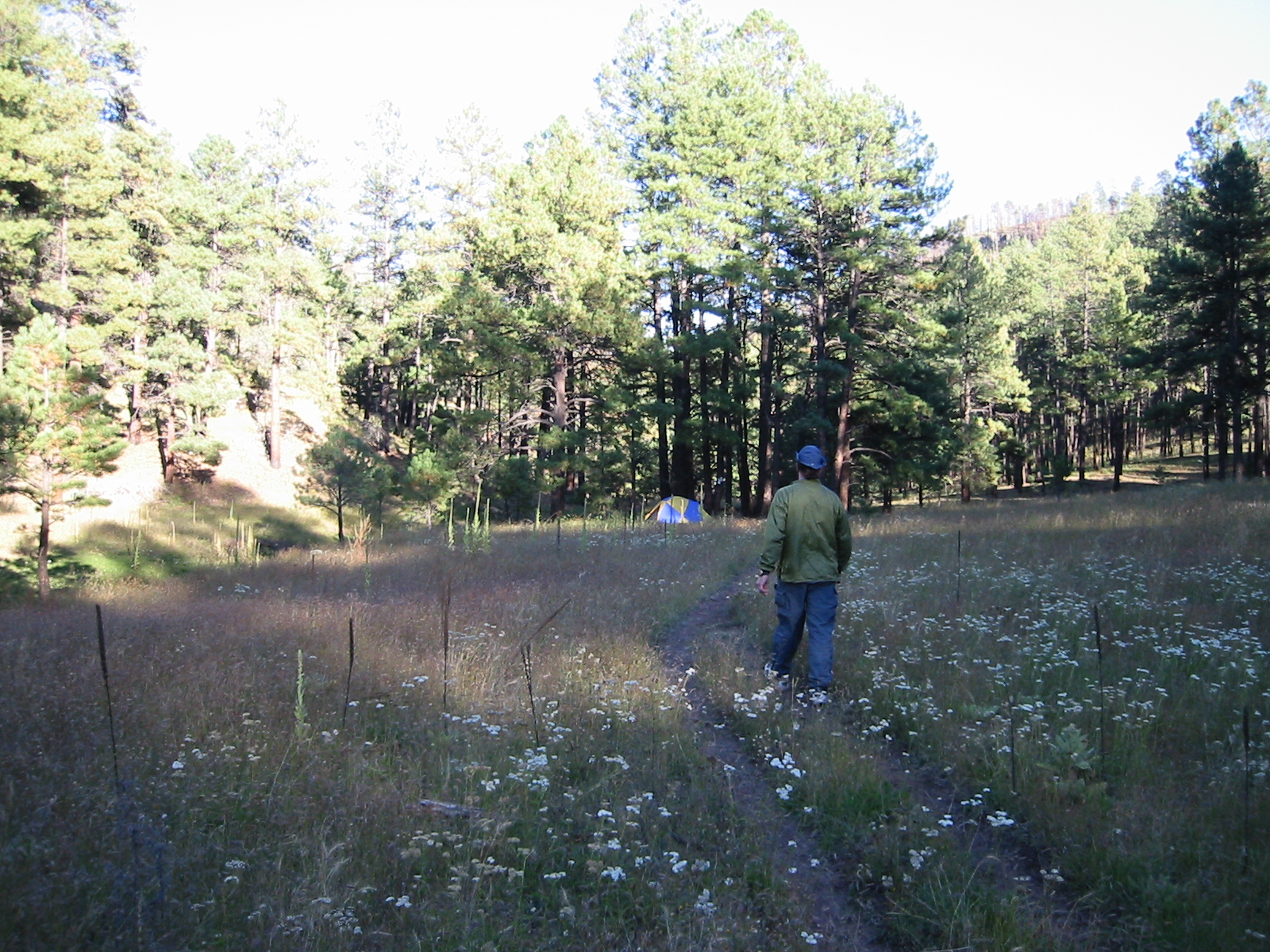
The trail begins at the end of the road, next to the beginning of the loop trail tyo the dwelings. Instead of going south, head west on the West Fork of the Gila River Trail #151. We had a long drive, took the tour and got a late start. As a result, our first camp was only 2.1 miles from the trail head. But what a great site overlooking the West Forkpof the Gila. On the way we saw a wilderness cliff dwelling and some cool spires.
The West Fork Trail continues west but we took the Big Bear Trail #28 to the north. It was a gradual 600 feet over several miles to the top of the mesa Higher on the mesa, the forest is dominiated by ponerosa pines. These statley trees define the 6,000 to 9,000 foot elevation with their platey bark and 4 to 7 inch needles in a fascicle of three.
Our next junction was at 5.1 miles with the Lilly Park Trail, #164. Althought we will come back on this trail, we continued northwest staying on #28.
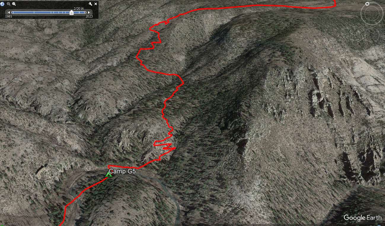
In another 2.2 mile, we reached the Meadows Trail #53 with a vista of the river below. The Meadows Trail took us to the Meadows (duh), down 900 feet of switchbacks. The Meadow had a great campsite with a fire ring and plenty of furniture.
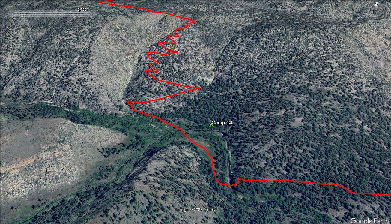
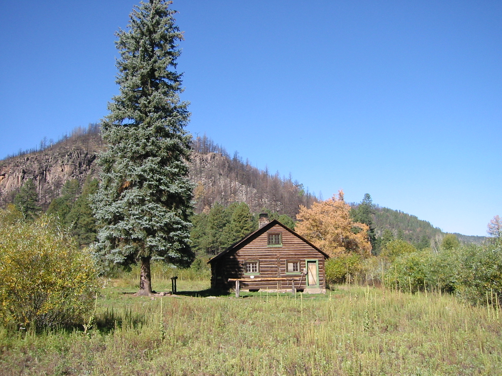
What goes down must go back up (or something like that). In the morning it was back up the 900 feet of switchbacks to the Big Bear Trail but now we are turning right, to the west, on the Prior Creek Trail #156. It is 4 miles to Prior Creek and the Prior Cabin. For us it was a good spot to refill our water bottles and have some lunch.
We continued west but now on the Chicken Coop Canyon Trail #29. It was 4.5 miles to the next junction, the Trotter Trail #30. This section of #29 stays on the mesa and is pretty level. It was fall and we were gifted with an area where the grass had turned red. At the Trotter, we turned right (northwest), hiked a mile and dropped a hundred feet into a nice grassy valley. This was our third camp, in Clear Creek Valley.
We left camp and backtracked to the Chicken Coop junction, but stayed on the Trotter until we got to the south edge of the mesa 7 miles later. Another mile dropping 1,000 feet on switchbacks and we reached our campsite on White Creek.
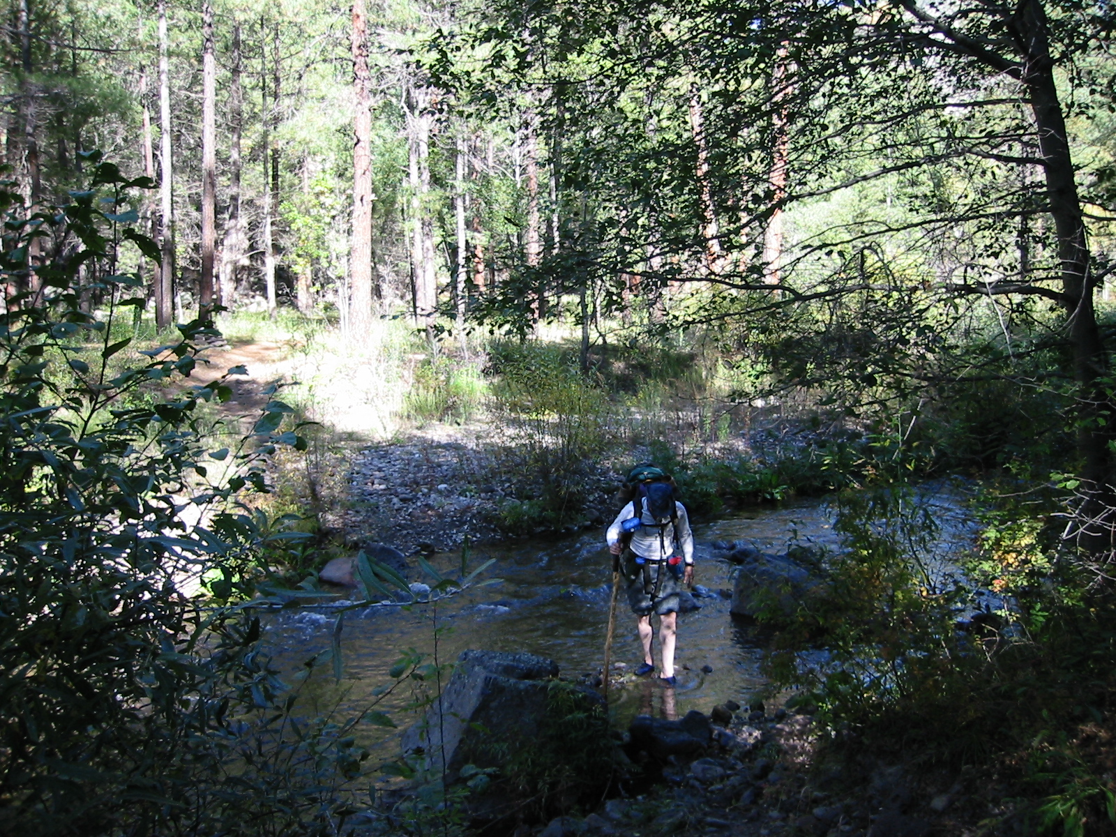
Passing White Creek Cabin, we started out the next morning on West Fork Trail #151. It was only a little over 5 miles to the Hells Hole camp, but it included 7 wet crossings and the trail is not maintained. The upstream crossing was fairly small and shallow but they got deeper as we passed the numerous tributaries. We were there in October and it was dry. If you hike this in the spring or get some heavy thunderstorms, safe crossings may not be possible.
The campsite at Hells Hole is still in the West Fork valley. There were some interesting formations and pools by the river that made a nice place to relax. Which was good because we were going to get planty of exercise the next day. It starts with 1,000 feet of switchbacks on the Hells Hole Trail #268. In 2 mile, intersect with trail #164, called both the Lilly Park Trail and the Woodland Park Trail. Regardless, turn right/east at the junction. Stay on this trail until you reach the Big Bear Trail #28. You have now closed the loop. Turn right and begin your 5 mile backtrack to the trailhead.
From Hells Hole it was a total of 11 miles to campsite 1. We long drive home so repeated our stay at our first campsite rather than driving late looking for a hotel. It was hot and there is a good swimming hole near camp. The next 2 miles in the morning is the same we hikes the first day, level and easy.
GPS File: Right click this link to download the track of the Woodland Loop in a gpx format. Save it to your computer and use your GPS software to load it to your GPS.
Google Earth Track: Right click this link to download the track of the Woodland Loop in the Google Earth kml format and trace the route in interactive 3D. Save it to your computer and open it with Google Earth.
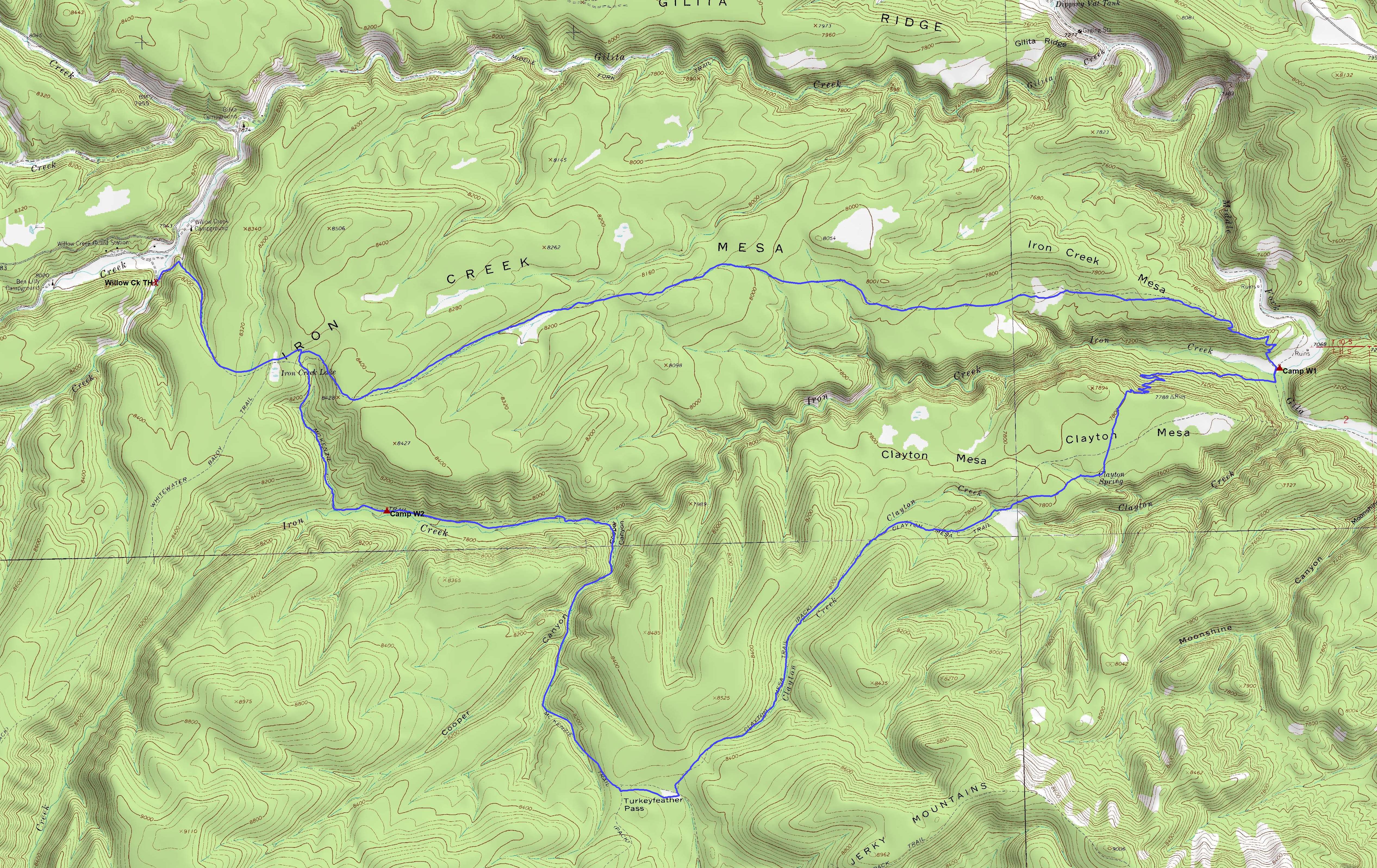
Willow Creek Loop
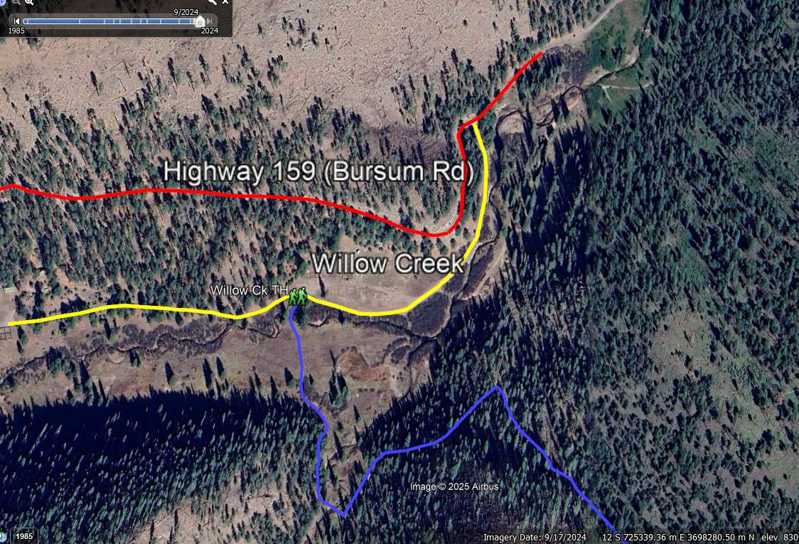
The hike starts at the Willow Creek Trailhead in the Willow Creek Campground. The campground is 17 miles (but over an hour) west of Mogollon NM on Highway 159 (Bursum Rd). See this image. The hike starts with a crossing of Willow Creek and Turkey Creek. After that you are out of the campground and starting a 350 foot climb up McKenzie Trail (#151) to Iron Creek Lake. Turn east at the junction of the Iron Creek Mesa Trail (#171, 1.3 miles) and head across Iron Creek Mesa. The mesa is underlain by mid-Tertiary Datil-Mogollon volcanics ranging from rhyolites to andesites. At 6.8 miles begin your 600 foot decent down to the meadow next to the Middle Fork of the Gila River (7.4 miles).
There is a great campsite in the meadow near the river. While we were there, a pack of coyotes were hanging out by the old ruins marked on the map. (Don’t get too excited about the ruins. It appears to be the remnant of an old cabin and there is very little left).When you leave this area, be sure to top off your water bottle at the river because there won’t be any water for a while. Head south for a tenth of a mile on the Middle Fork Trail (#157, which goes all the way to the Gila National Monument Visitor Center on the south side of the wilderness). Turn right (east) on the Clayton Mesa Trail #175 and start a gradual climb to Clayton Mesa. After 0.7 miles there are a half mile of switchbacks that put you on the mesa. The toal climb is 750 feet. ascent up to Clayton Mesa on Trail #175. Since the Gila National Forest Forest has always had a let-it-burn policy, the area has an open understory with grasses and pine needles covering the forest floor.
At about 10.7 miles the trail funnels into Clayton Creek and ascends towards the junction of the McKenzie Trail (#151). Turn right (west) and go 0.4 miles to Turkeyfeather Pass (12.8 miles). Stay on Trail #151 and soon you will be heading downhill into Cooper Canyon. If your water bottle is dry, you should start to see water.
At 14.7 miles the trail bottoms out and crosses Iron Creek, one of the perennial streams where the Forest Service maintains their Gila trout population (special fishing license required). Due to its bouldery nature, the stream bed may appear dry in some places, but a little scouting up or down stream will reveal clear pools and water moving under the rocks. The trail follows the creek for 1.5 miles, the turns north at 16.2 miles and ascends 500 up a small canyon back to the junction at Iron Creek Lake to close the loop (17.0 miles). The trailhead is 1.3 miles north on Trail #151 (18.3 miles).
GPS File: Right click this link to download the track of the Woodland Loop in a gpx format. Save it to your computer and use your GPS software to load it to your GPS.
Google Earth Track: Right click this link to download the track of the Woodland Loop in the Google Earth kml format and trace the route in interactive 3D. Save it to your computer and open it with Google Earth.
Info: USGS 7.5 minute quadrangle topographic maps: Negrito Mountain, Loco Mountain, Mogollon Baldy Peak. Contact the Gila National Forest, Silver City, NM (505) 388-8201
Directions to Willow Creek Campground: Take US Hwy 180 north from Silver City NM to NM159. Take NM159 17 miles past Mogollon, turn right at road to Ben Lilly Campground.

