
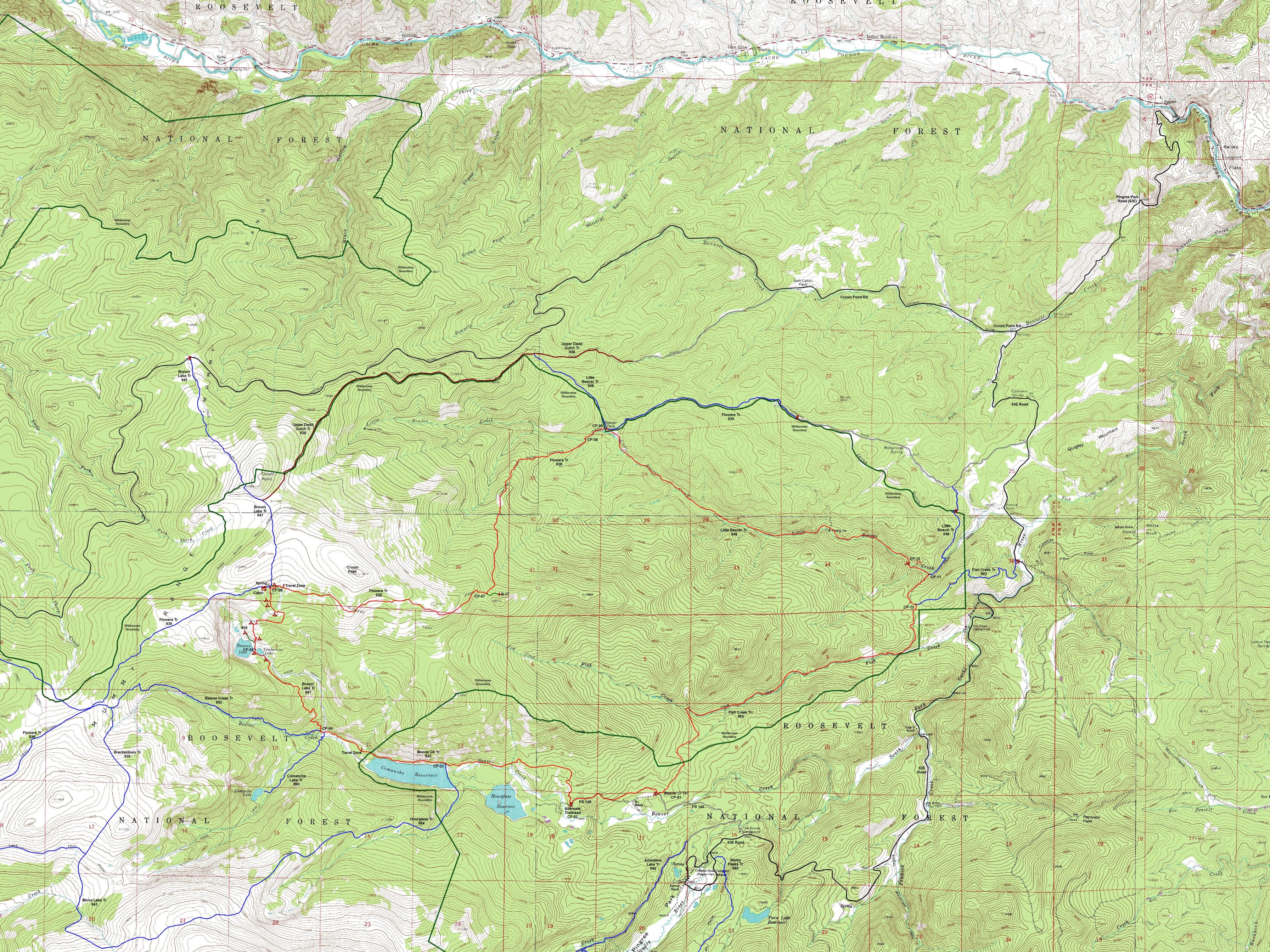
Crown Point B-17 Loop, Comanche Peak Wilderness, Colorado.
Free downloadable topo maps. Available for purchase.
Visit the front range of the Rockies without the crowds or hassle of permits. Plus, see the wreck of a WWII vintage B-17 bomber.
Background: Found in the Roosevelt National Forest, the 66,791 acres Comanche Peak Wilderness boasts over 121 miles of trials and is administered by the Canyon Lakes Ranger District. It is bounded by Rocky Mountain National Park to the south and the Cache la Poudre River to the west and north. The east side has an irregular shape deformed by recesses caused by active forest roads (Crown Point Road to the north and Pinegree Park to the south) and a salient that includes Crown Point, Little Beaver Creek and Fish Creek. The prominent peaks are part of the north-south trending Mummy Range that begins in the park, crosses into the wilderness near Comanche Peak and tapers to the sub alpine elevations north of Crown Point.
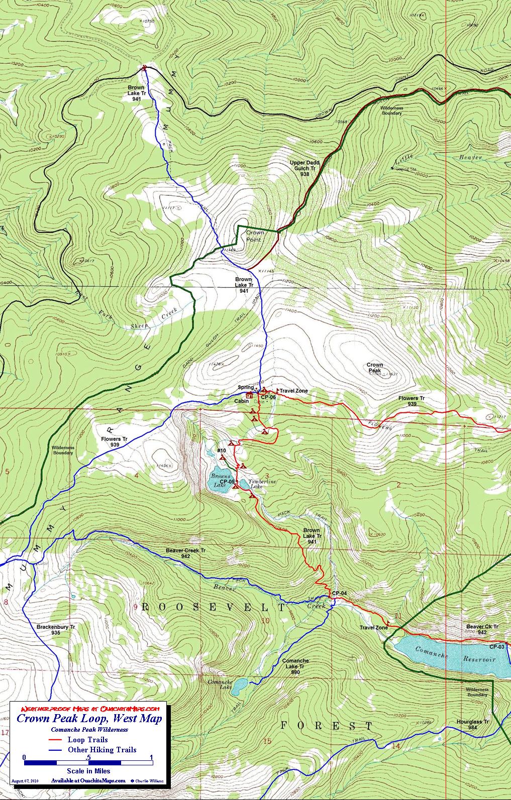
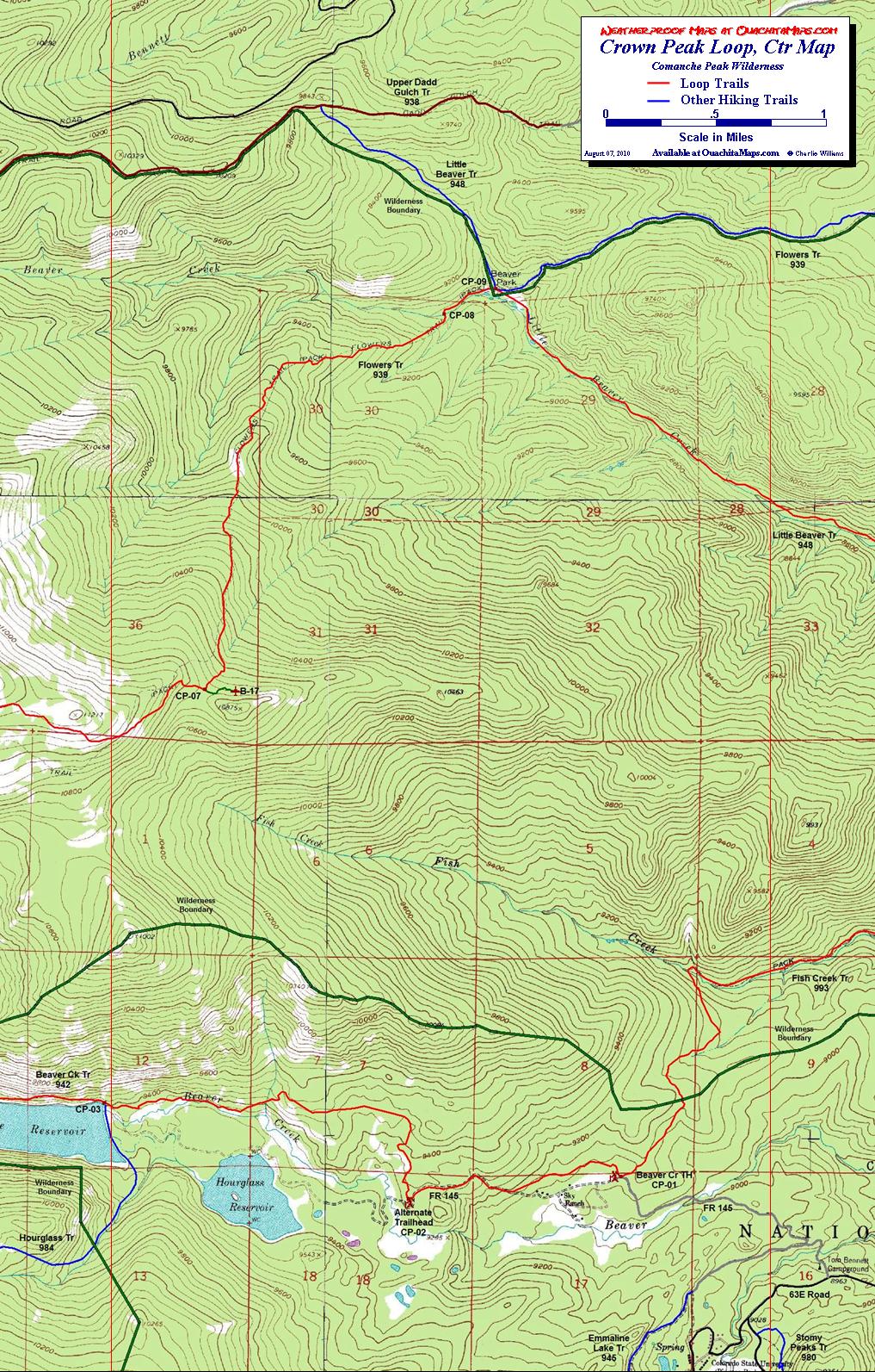
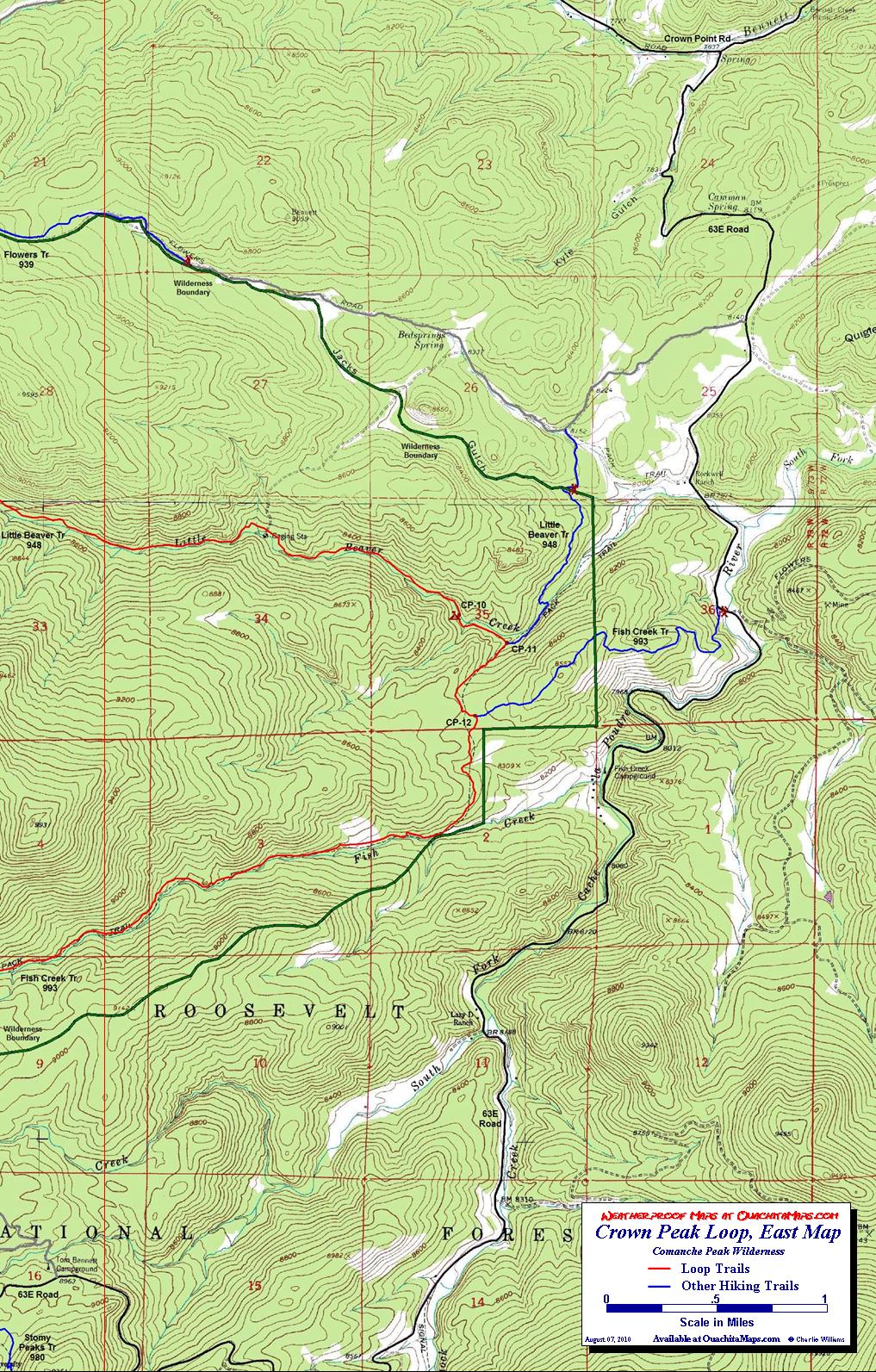
The Maps: There are 4 maps: one area map and three trail maps. They are available on this page as a downloadable jpg. The three trail maps are also available printed in color on 11x17, "Rite in the Rain” all weather writing paper for $5 plus S&H by emailing Charlie at cew5151@gmail.com. The maps are nominal 1:24,000 based on USGS 7.5 minute quadrangle topographic maps. The featured trip is shown in red and are based on the GPS track taken on the hike. The blue trails are the designated hiking trails and were taken from the Forest Service GIS database. The marroon trail is a mulkti-use trail also from the Forest Service GIS database. The green trails are selected casual trails. The green and black line is the wilderness boundary. The forest roads are in black and or gray. Some may not be drivable with low clearance cars so check with the FS to make sure you can get to your trailhead. Selected camp sites, including the ones we used, are shown as maroon tents.
Trip Mileage Table: Click here for trip mileage table.
GPS File: Right click this link and Save Link As to download the tracks in a gpx format. Save it to your computer and use your GPS software to load it to your GPS.
Google Earth Track: Right click this link and Save Link As to download the track in the Google Earth kml format. Save it to your computer, and open it in Google Earth and trace the route in interactive 3D.
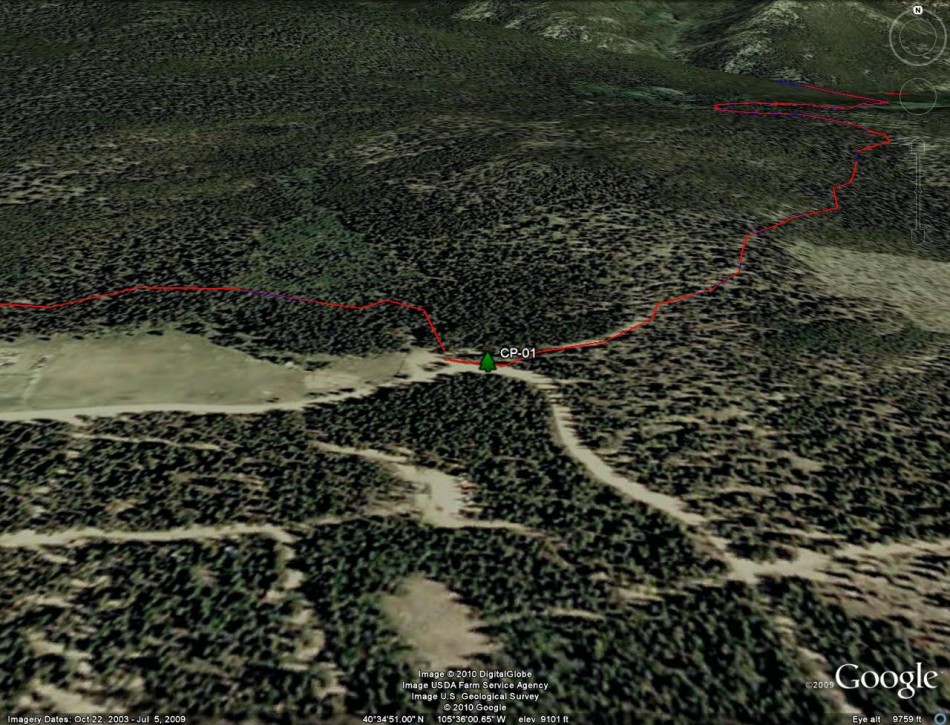
Google Earth Images: The following are images of the loop overlain on Google Earth.
- Waypoints CP 01
- Waypoints CP 01-02
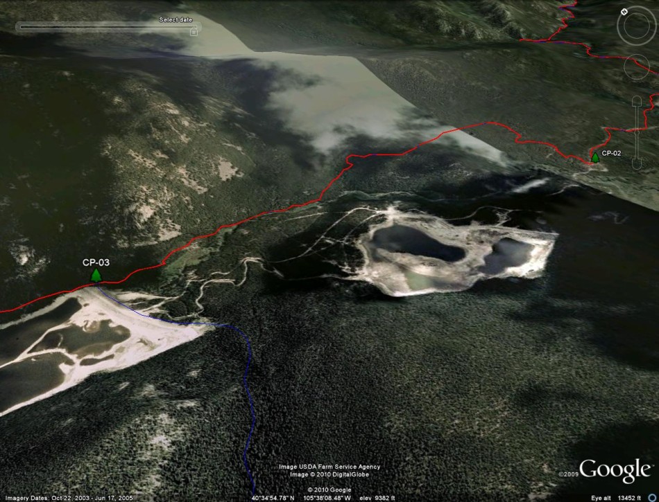
- Waypoints CP 02-03
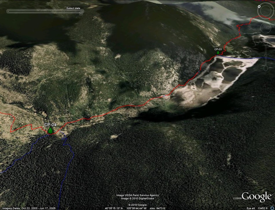
- Waypoints CP 03-04
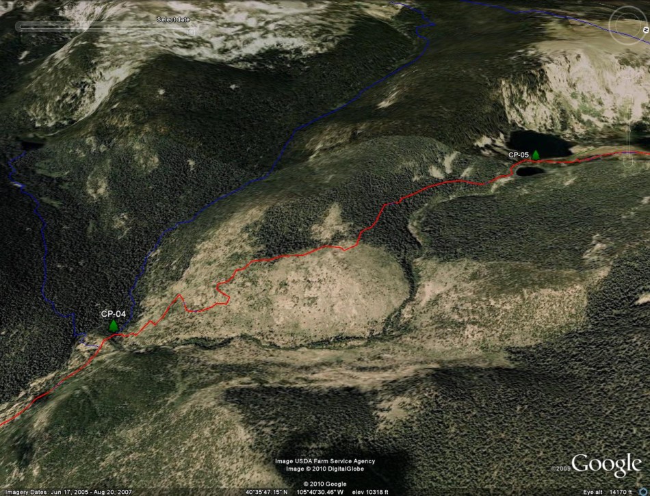
- Waypoints CP 04-05
- Waypoints CP 05
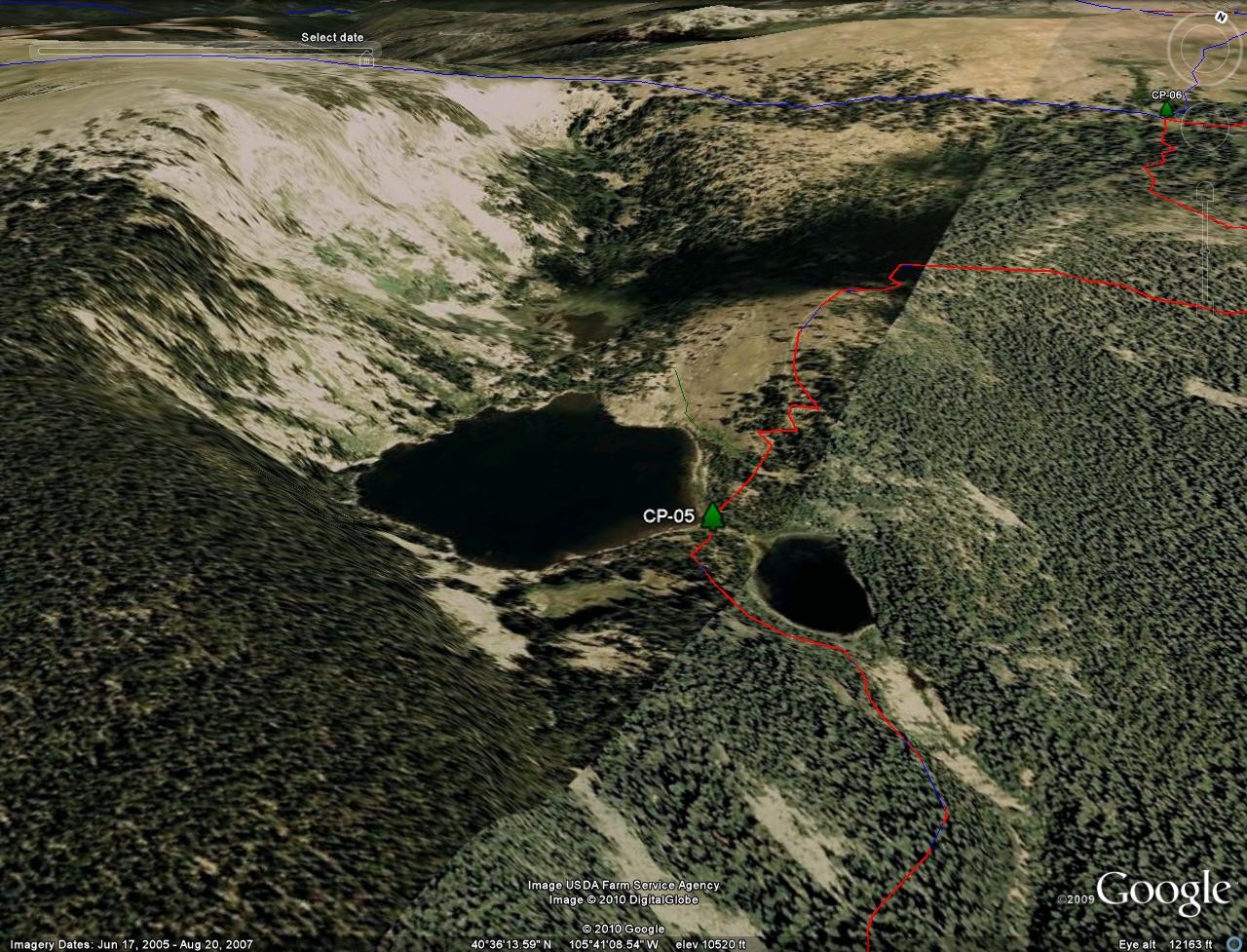
- Waypoints CP 05-06
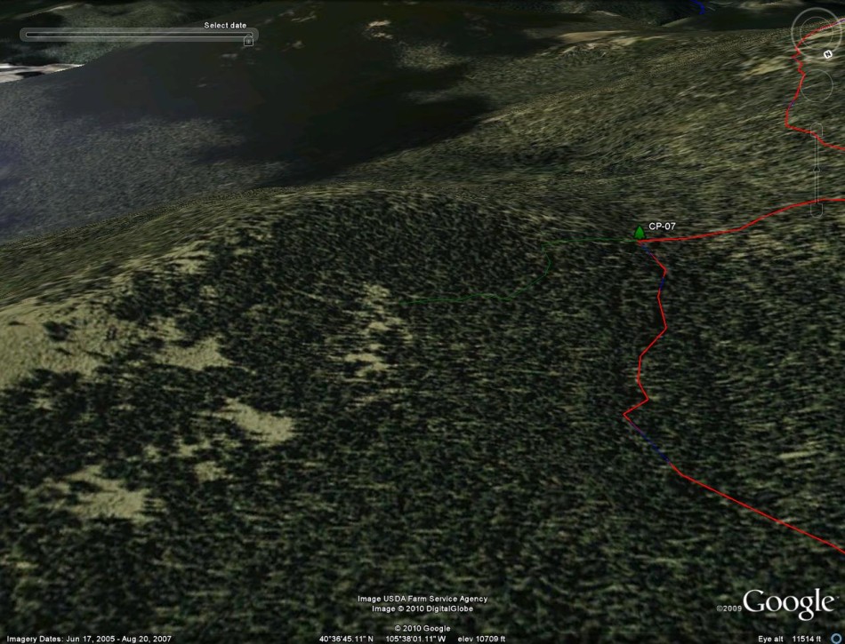
- Waypoints CP 06-07
- Waypoints CP 07
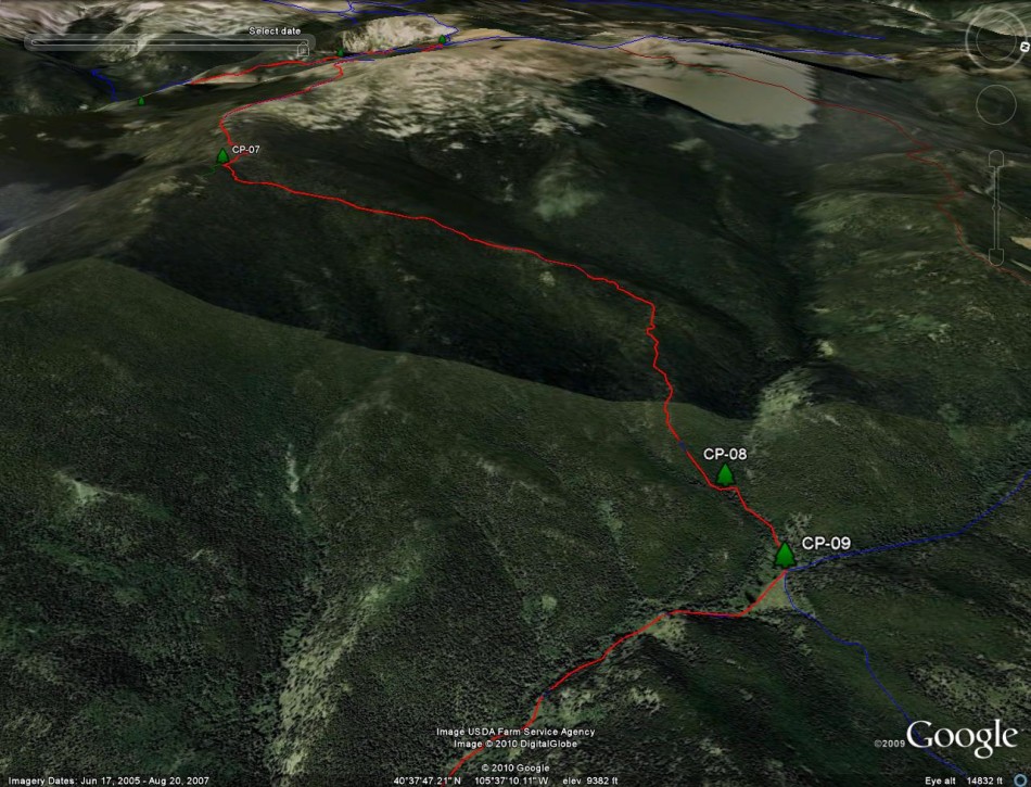
- Waypoints CP 07-09
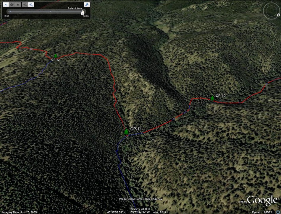
- Waypoints CP 09-12
- Waypoints CP 10-12
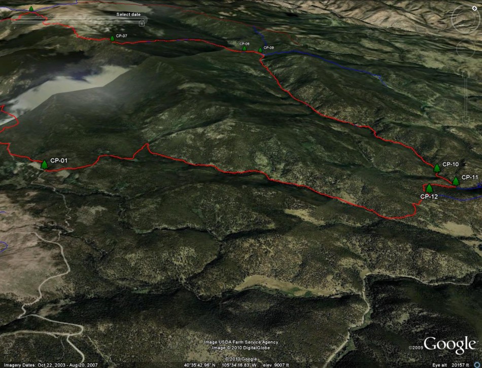
- Waypoints CP 12-01
Video Note: Some of the links in the narrative are to short videos. Sometimes reference is made to waypoints. These are my trail notes and those waypoint numbers do not correlate to waypoints on the maps or mileage charts.
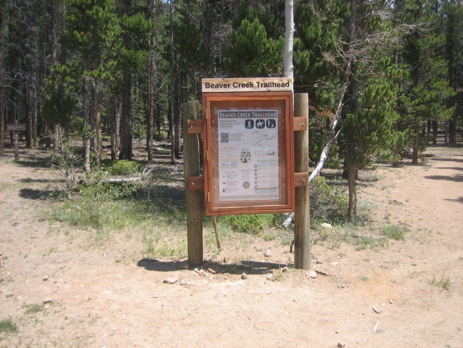
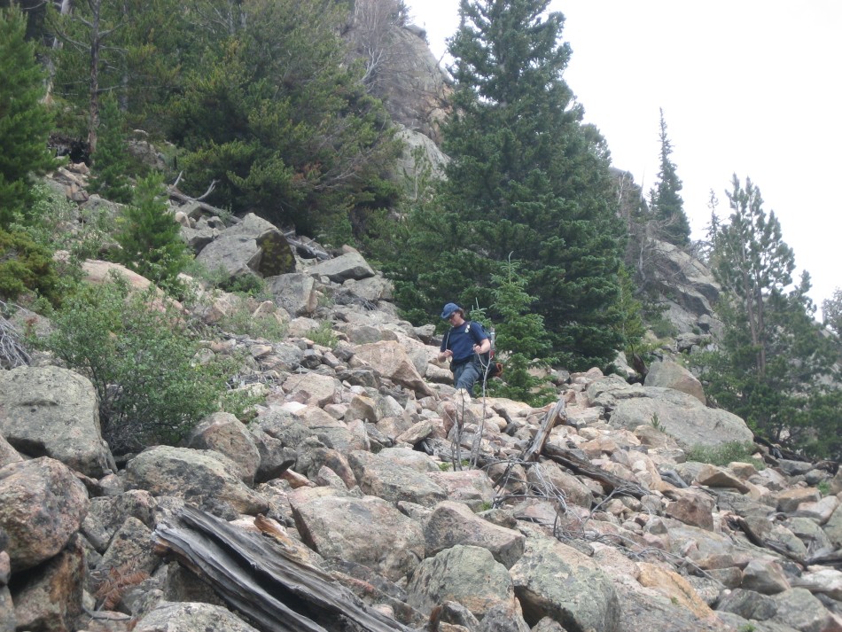
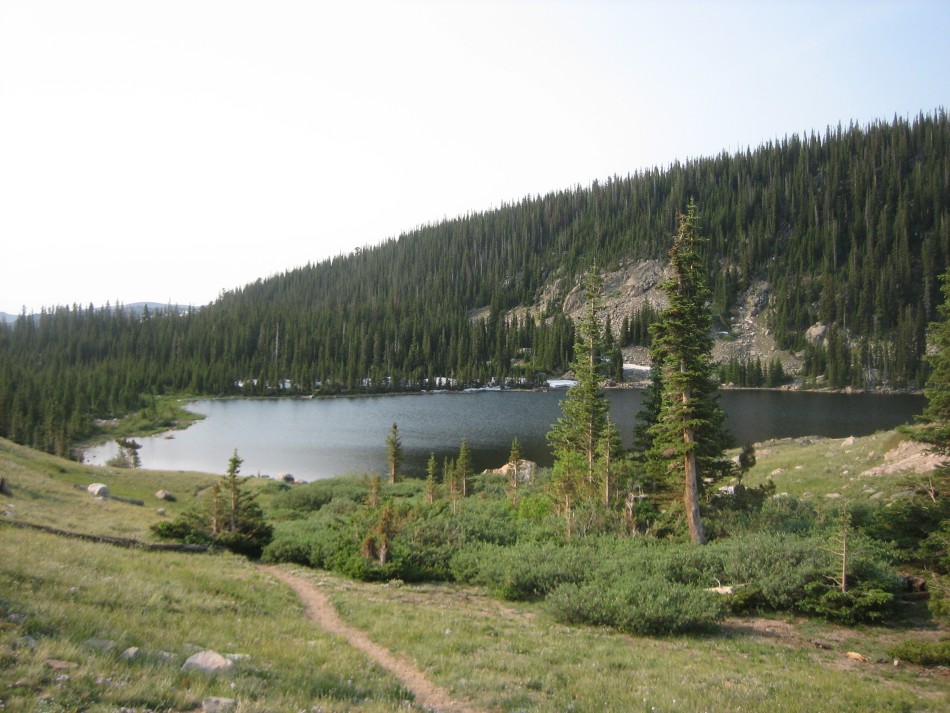
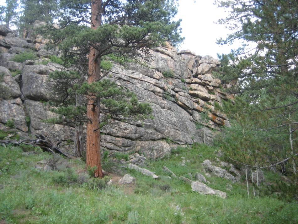
The Hike: Begin the hike on the Beaver Creek Trail (942) at the entrance to Sky Ranch in a stand of lodgepole pines. Follow the trial through the forest north of Sky Ranch. At 0.6 miles, turn right on FR-145 and follow it to an alternative trailhead (1.1 miles). The trail heads north back into the forest and at 2.5 miles drops down to Beaver Creek. At 3.0 miles the trail is within sight of Comanche Reservoir and splits, one path going down to the dam and the other heading up. It is hiker’s option since they come together a little further down the trail. The trail stays high on the side of the lake cutting across the bouldery slopes of light gray and iron stained gneiss, providing excellent views of the reservoir.
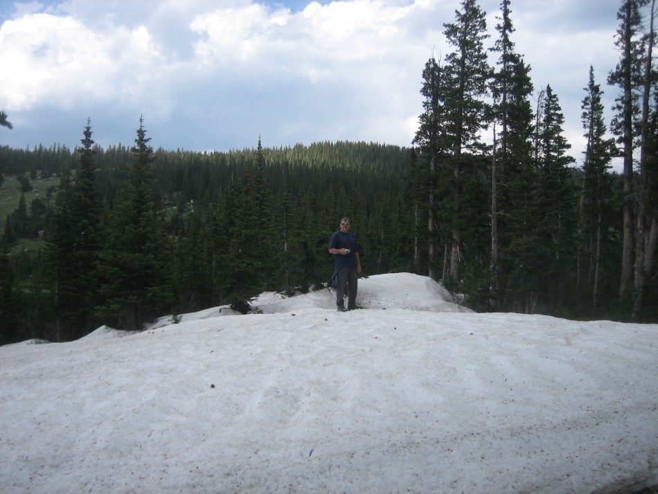
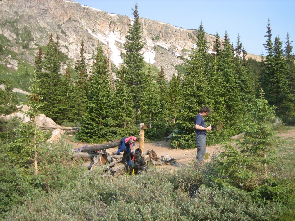
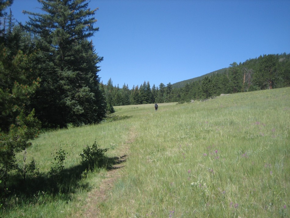
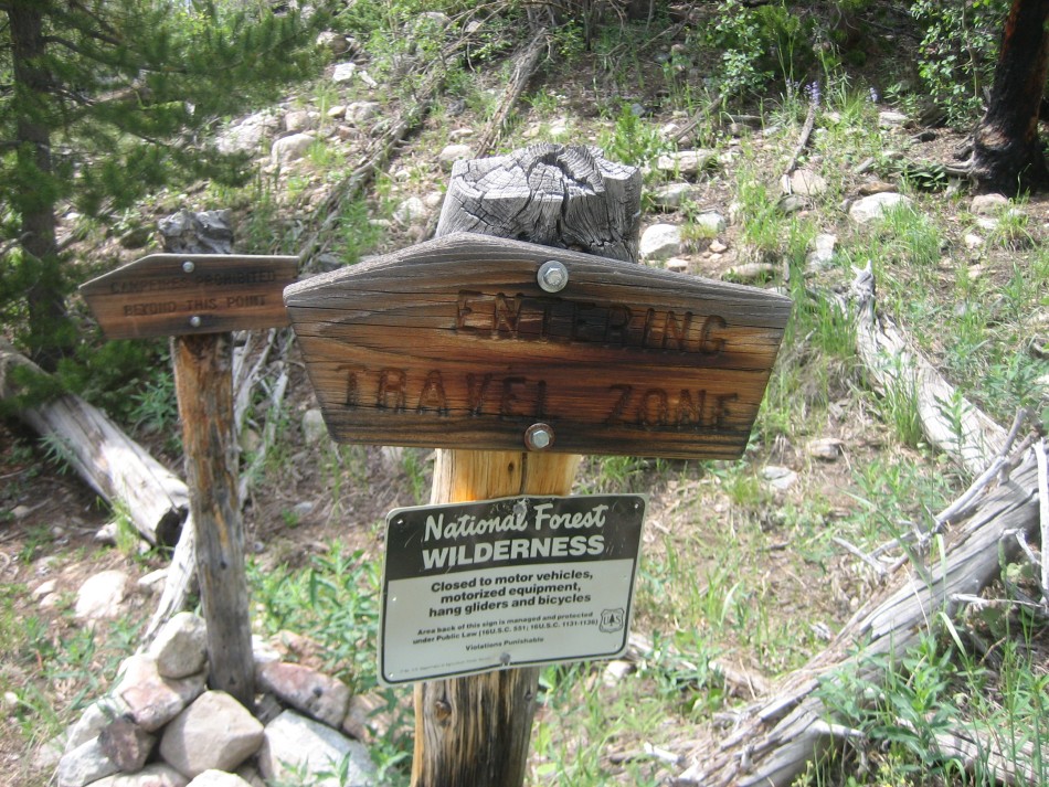
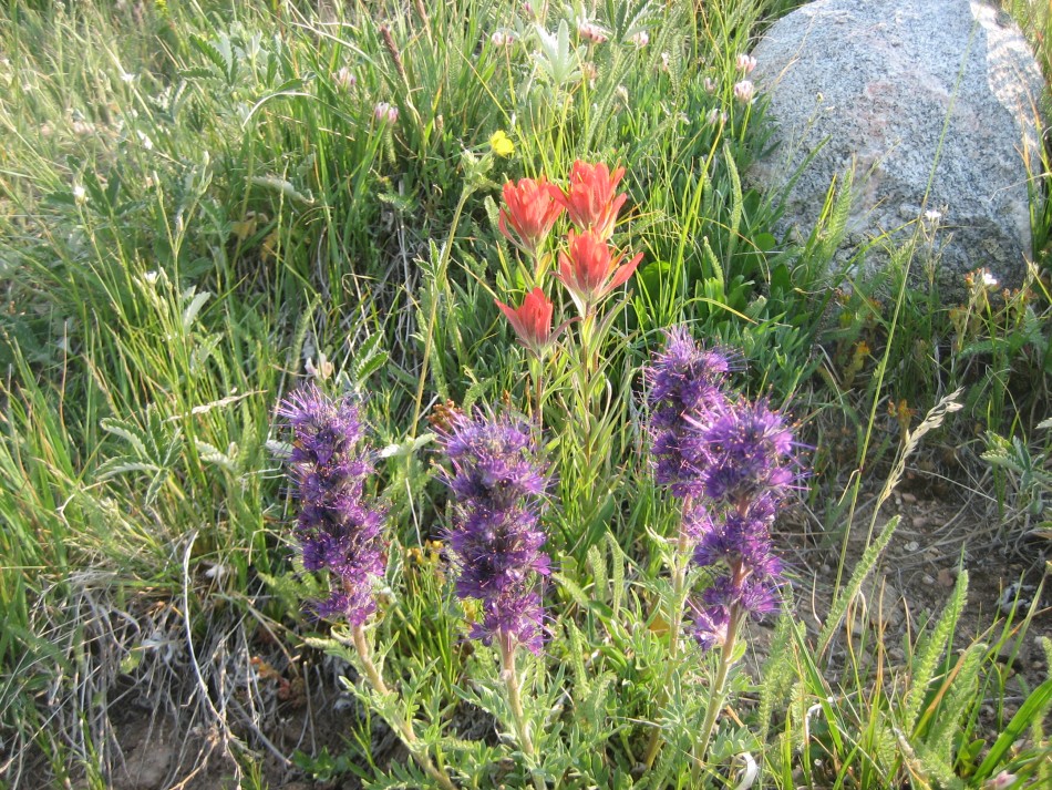
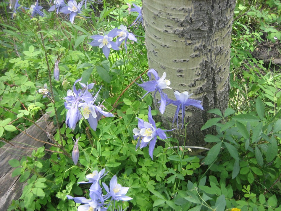
At the head of the lake (video) is the wilderness boundary and the entrance to the Travel Zone (4.0 miles). Camping in the Travel Zone is restricted: designated campsites (no reservations, first come basis), campfires are not permitted, parties limited to 12 beating hearts (meaning dogs etc. included in the count) and dogs on a leash. After a trek through an open meadow with bluebells and buttercups, the trail passes the Comanche Lake Trail junction (990), crosses a small creek and reaches the junction of the Brown Lake Trail (941). Follow the Brown Lake Trail up 800 feet (video) through an open forest and then into the thick woods above Brown Creek. (Note: Brown Creek Trail in this is section is west of the trail depicted on the USGS 7.5 minute quadrangle but corrected here.) The designated campsites begin just before Timberline Lake. Also in the woods on this side of the lake were some monster July snow banks, a testament to the heavy snow pack and deep shade on the north slope of the Brown Lake basin.
Cross Brown Creek between Brown Lake and Timberline Lake at mile 6. At 6.1 is the spur trail to campsite 10. Located north of Brown Lake it offers easy access to the lake, an outstanding open view of the cirque valley and a flower filled hillside meadow. The trail climbs another 600 feet passing several more campsites (video) to the junction of the Flower Trail (939). Though high above the lake, these camps have a reliable water source in the form of a spring-fed creek.
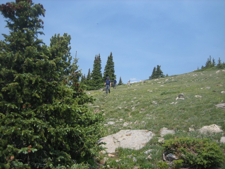
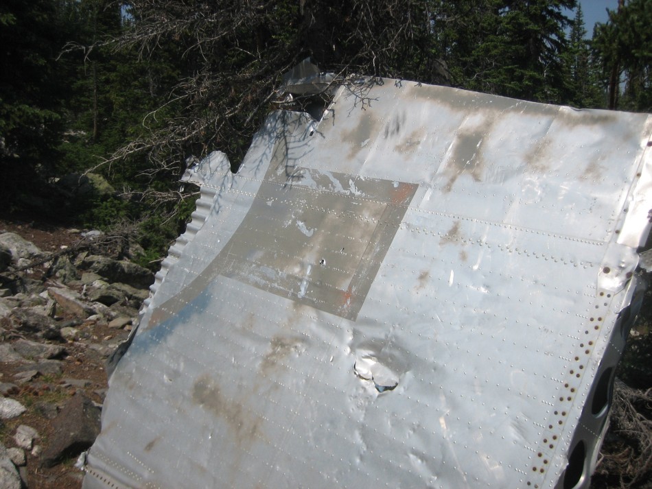
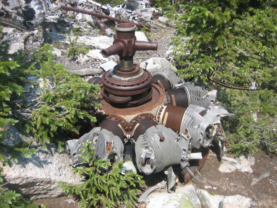
The junction of the Flower Trail (7.3 miles) features a spring and ruins of an old log cabin. The Brown Lake Trail continues upward and north crossing the west ridge of Crown Point to a trailhead on the Crown Point Road. (Note: the USGS quads are in error showing the trails, cabin and spring too far east). We will turn right on the Flowers Trail (video) (east) and contour around the south side of Crown Peak (video) at about 11,200 feet and finally descend to a saddle and a spur trail to the Crown Point B-17 crash site (10 miles). On the way, cross alpine meadows spotted with Englemann spruce and subalpine firs and enjoy vistas of the Mummy Range to the south. The B-17 spur junction is marked with a pile of rocks with a steel bar sticking out of it.
A B-17 was carrying 10 people when it crashed on the north side of east ridge of Crown Point at about 10,750 feet on June 13, 1944. Four service men died on this training flight due to a navigational error and 6 survived. About 6 weeks later the army (this predates the formation of the US Air Force), dynamited the wreck (video) destroying the main fuselage and scattering parts down the side of the hill (video). Though the form of the plane is unrecognizable, there are many identifiable engine parts, wing sections with the flying star faintly visible and a gun turret cage.
Back up to the main trail, descend 1800 vertical feet from the saddle to Little Beaver Creek and top off your water at the bridge (video) (12.6 miles). Head east after the bridge, enter Beaver Park and leave the Flowers Trail (which heads up hill to the north east) for the Little Beaver Creek Trail (855). The next 4 miles are fairly level passing though small meadows, open forests of ponderosa pines, dense stands of lodgepoles and aspen groves and past rocky bluffs, beaver ponds and occasional columbines and wild roses.
At 16.9 miles is a bridge to the south bank of Little Beaver Creek and an established campsite (video). At 17.2 miles is the junction with a spur trail that connects to the Fish Creek Trail. Take it and head south. At 17.7 miles intersect the Fish Creek Trail (1009) on top of a hill. Turn right (south) and follow it down to Fish Creek. At the creek the trail turns up stream and traverses through meadows filed with wild flowers and montane forest. At 21 miles the trial makes a left hand turn, leaves the creek and begins the last ascent of the trip. Leave the wilderness at 21.8 miles and reach the trailhead at 22.3 miles.
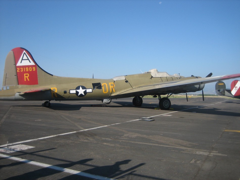
As a side note, it was rather coincidental that when we took Pete back to the Ft Collins-Loveland Airport, there was a refurbished B-17 (video). The 323rd Squadron's Nine-o-Nine (tail 231909) is one of the last remaining of the 12,731 B-17s built in WWII. This bomber model was high tech when it was rolled out in 1935 and had a 1,020-mile range, a 2,000-pound bomb load capability, and a 200-mph speed.
Directions: From Fort Collins, go north on US 287 to CO Hwy 14. Go west for 26 miles followiing the Cache la Poudre to the Pingree Park Road (Eggers CO, mile 96). Go south (crossing the Cache La Poudre River), and follow 63E for 15.6 miles. Turn right on FR 145 at Tom Bennett Campground. Go 1.4 miles to Beaver Creek Trailhead.
Info: USGS 7.5 minute quadrangle topographic maps: Pingree Park Comanche Peak, Kinikinik and Rustic. Contact the Canyon Lakes Ranger District, 2150 Centre Ave. Bldg. E, Fort Collins, CO 80526, (970) 295-6700.
To Buy Maps: The loop is on three maps. Color, 11x17 maps on weatherproof paper are available for $5 each plus S&H by emailing Charlie at cew5151@gmail.com (copy and paste in your email).