Buffalo River Trail (BRT) - Overview Page
Free downloadable topo maps of the BRT
Printed maps are also available for purchase.
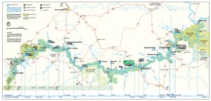
The Buffalo River Trail follows the Buffalo National River in northern Arkansas. It is a work in progress with some sections long established, others just completed and lots more on the drawing table. This page has links to the map pages of the completed sections where you will find full scale downloadable topos and more. First, however, if you are new to the area, this is a link to the US National Park Service's map of the Buffalo National River. It does not show the trail, but it will help orient you to the differnt parts of the river.
The Map Pages: Currently the Buffalo River Trail (BRT) is divided into 3 sections:
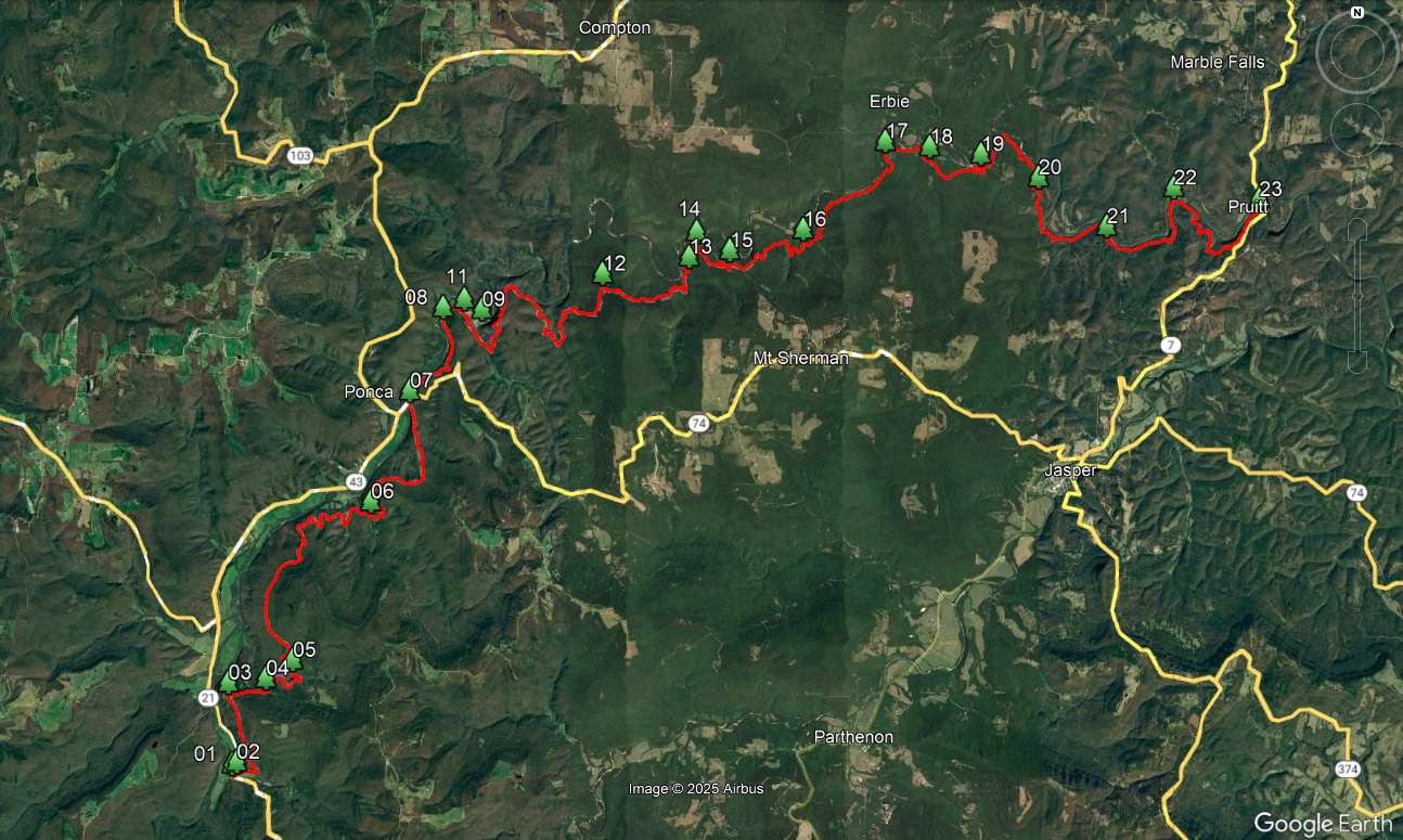
- Western Section. This long established trail runs 36.3 miles between Boxley and Pruitt. It stays mostly in the highlands south of the river. Boxley is on the north edge of the Upper Buffalo River Wilderness. The trail heads north to Ponca, a favorite canoe rental area, then east past Steel Creek, Kyles Landing, Erbie Campground, Ozark and Pruitt recreation areas.
- Eastern Section. This is now a misnomer because the new Maumee section is further east. The Eastern Section starts at Woolum, over 20 miles east of Pruitt. It runs 15 miles, passing the Tyler Bend recreation area and ending at the US Highway 65 bridge south of Harrison. Woolum is also the end of the main part of the Ozark Highlands Trail (see link for free downloadable topos).
- Maumee Section. This is a newer section, finished in 2010. It is an 11 mile trail that stretches from the South Maumee reacreation area access road to the Highway 14 bridge.
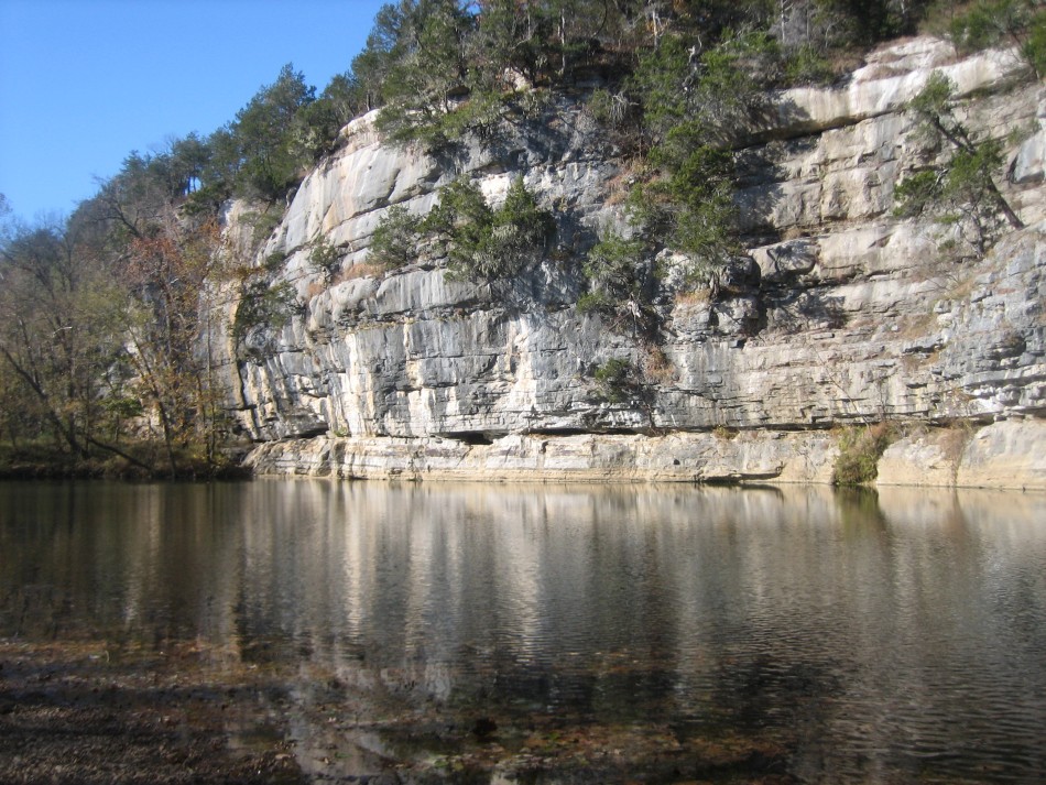
The Buffalo is a natural flowing river through the Ozarks and is known for its canoeing, clear water and scenic bluffs. The forests surrounding the river are the hardwoods and pines typical of the Ozarks. Both elk (reintroduced in the area in the early 1980’s) and black bear live in the area. The trail stays mostly in the highlands and only provides access to the river in a few places. The BRT is blazed in white where it is for hikers only and is yellow where horses are allowed. The Buffalo National River (which includes the adjoining land) is administered by the National Park Service and dogs are not permitted on the trail. Shuttles are available from the many canoe outfitters in the area (see the Shuttle Page for some examples). If you have time, consider a multi-sport trip; canoe downstream and hike back. Watch for poison ivy.
To Buy Maps: The entire western trail is a four map set. Color, 11x17 maps on weatherproof paper are available for $5 each ($10 for the set) plus S&H by emailing Charlie at cew5151@gmail.com (copy and paste in your email).